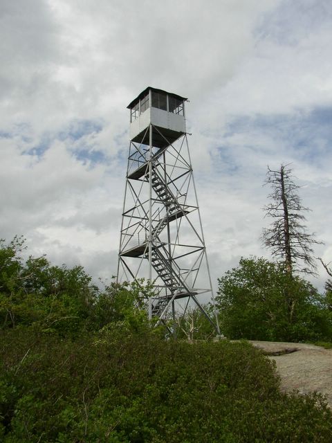
Goodnow Mountain
Summit Elevation: 2690 ft
Round-trip Distance: 3.8 mi
Elevation Change: 1040 ft
Goodnow mountain is located in the central Adirondacks near Newcomb. The fire tower on top is open and there are great views of the high peaks to the north.

Fire tower on Goodnow

Looking north from tower (at high peaks)
Blue Mountain
Summit Elevation: 3759 ft
Round-trip Distance: 4.0 mi
Elevation Change: 1550 ft
Blue mountain is a 20 mile drive from Goodnow. It is one the most climbed peaks in the Adirondacks.

Fire tower on Blue mountain
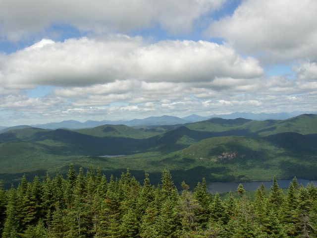
Looking north from tower