Howie and I hiked Cliff and Redfield mountains in the Adirondack high peaks. It was another tough day hike.
Started at the Upper Works trailhead around 7:45 AM. Took the Calamity Brook trail to Flowed Lands and then the trail to Lake Arnold. From there, we followed Opalescent trail to Uphill Lean-to and the start of the two herd paths. On the routes to the two summits, we kept bumping into the same groups of people. Many people were impressed with Howie's hiking ability - though he had a little trouble negotiating the steep rock ledges on Cliff.
We arrived back at the car around 7:30 PM - nearly 12 hours of hiking (including rests). A picture perfect day for hiking.
Summit Elevations: Cliff 3960 ft, Redfield 4606 ft
Round-trip Distance: 19 mi
Elevation Change: 3600+ ft

Mount Colden reflecting on Lake Arnold

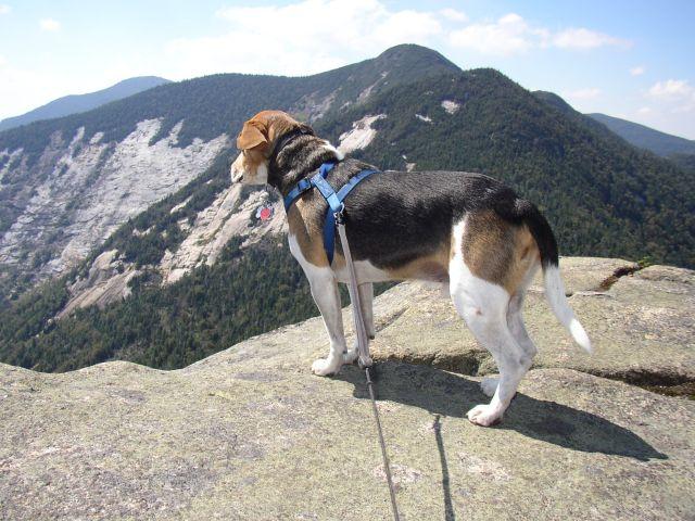
Proof that I climbed Cliff

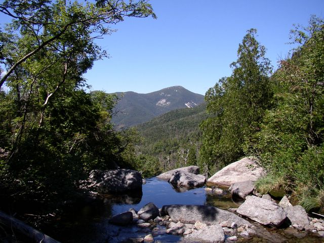
View from Uphill Brook

View from Redfield