In a world ... where people have too much time on their hands ... Comes a story about a guy and his beagle ... Join them on their last adventure of the year ... As they tackle a mountain that has eluded them in the past. Will they be able to overcome easily surmountable obstacles to make it to the top?
Plateau II ... This time it's personal!
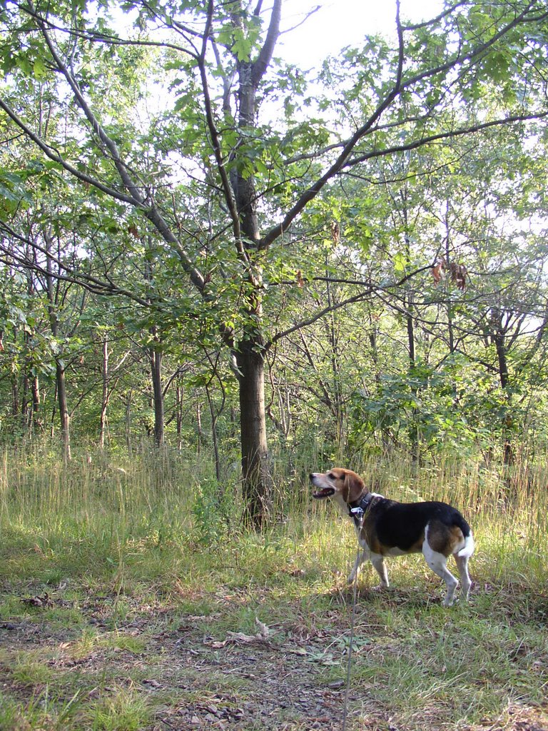
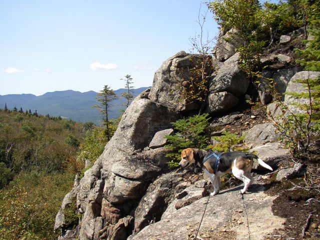
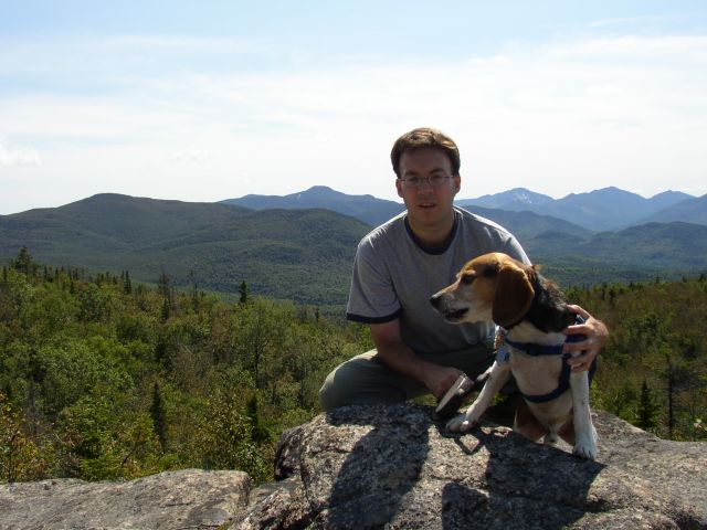
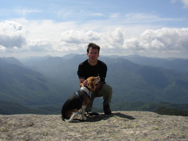
Yes, Howie and I finished out the year by climbing Plateau mountain in the Catskills. I parked at the Notch lake trailhead and we started up the Devil's Path. It was a strenuous climb to reach the first look out. There was only a dusting of snow and a few icy spots on the way up. We continued along the long ridge to the "real" summit and then returned back to the car. On the way down, I could hear cowbells in the distance. It turned out to be a dog. We had a sunny and warm day (for end of December anyway) for our last hike of 2006.
Summit Elevation: Plateau 3840 ft
Round-trip Distance: 6.4 mi
Elevation Change: 1860 ft

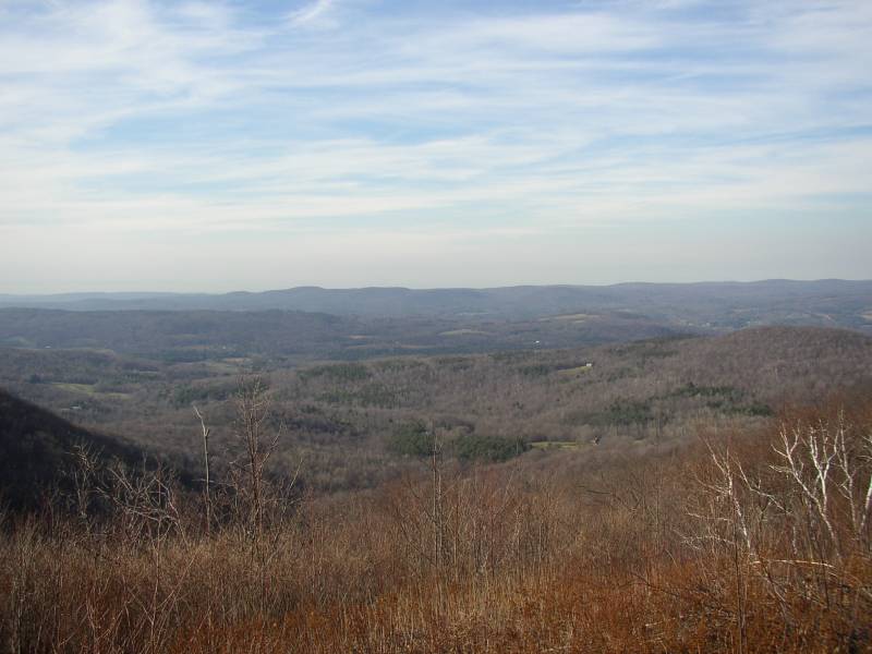
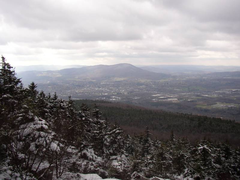
View to the North

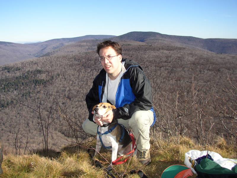
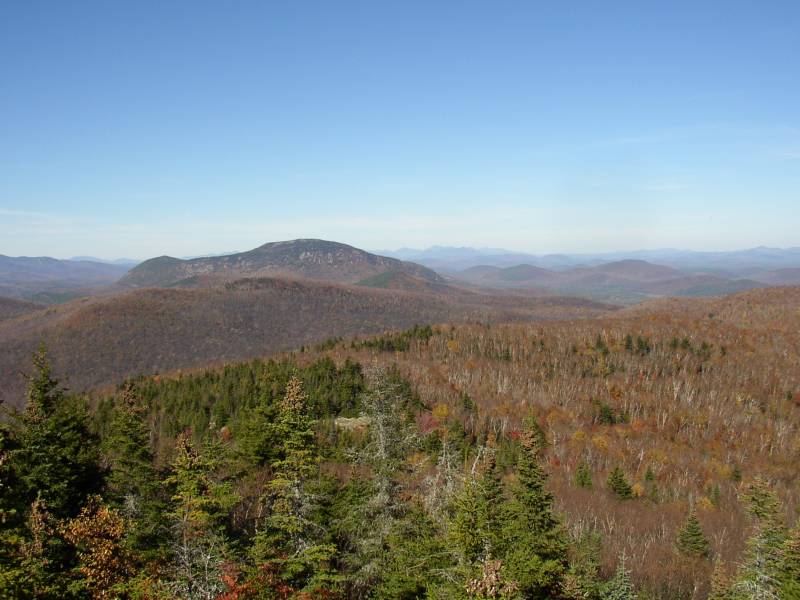
View to the South