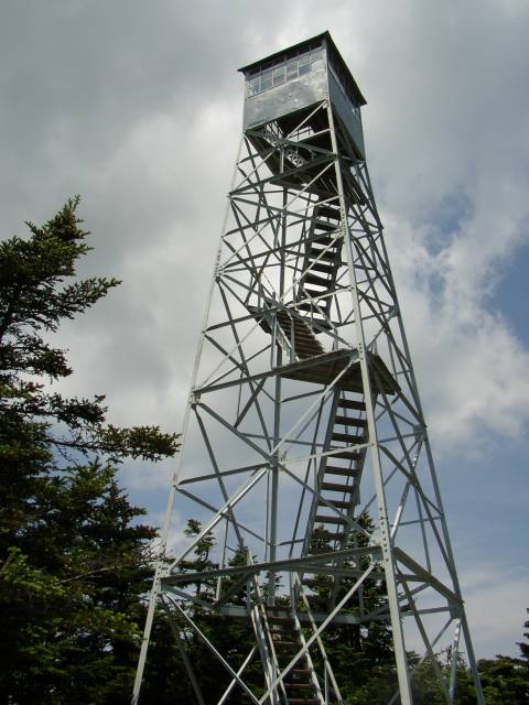
Howie and I did a hike in Southern Vermont (Green mountains). We climbed Stratton mountain. There is a ski resort on the east side, but we climbed it from the south on the Appalachian Trail/Long Trail. At the top, we were greeted by some very mellow summit stewards. Howie stayed on terra firma while I climbed up the tower in some 25 MPH wind .... a little disconcerting. When I got back down, Howie was enjoying some pepperoni that a hiker had given him.
We continued on the AT down to Stratton Pond where I soaked my feet for a few minutes. Howie wanted no part of swimming in cold water and was content to lay in the grass. Some backpacker was going on about his stove that he made out of beer cans and only weighed one ounce.
We returned via the Stratton Pond trail to the forest road, and then walked the road back to the car - thus completing the loop.
We had a nice sunny, breezy day for our trek. The wind helped to keep the bugs away.
Summit Elevation: Stratton Mountain 3936 ft
Round-trip Distance: 10.5 mi
Elevation Change: 2000 ft

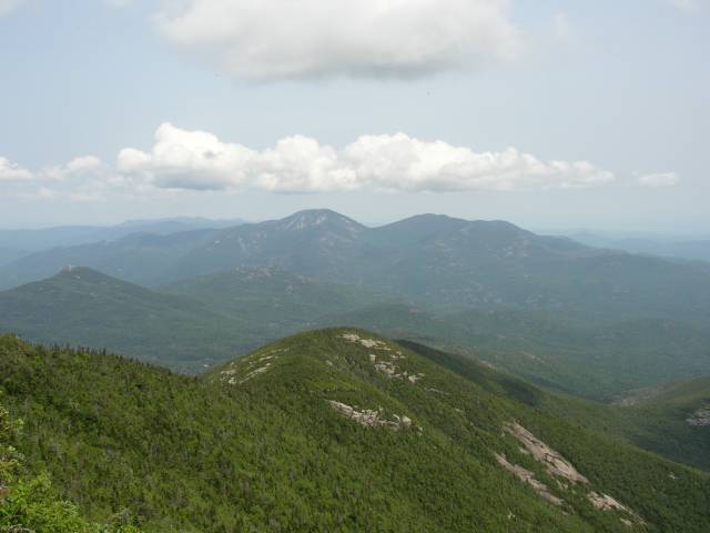
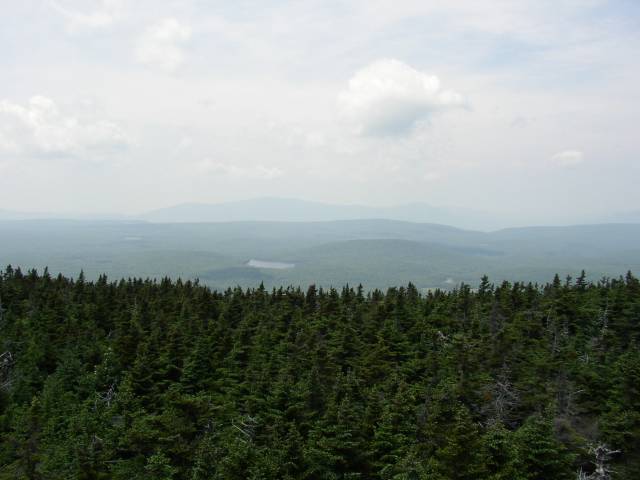
View from tower

Fire tower