Saturday, September 30, 2006

Fade to Black

Howie and I climbed Black mountain near Lake George today. We did a loop starting from the trailhead on Pike Brook Road. Climbed up the east trail to the summit and then down the south trail to Black mountain ponds, Lapland pond, and back to the trailhead. There were quite a few other hikers out enjoying the cool weather and fall colors. Our short trek took us around 4 hours.

Summit Elevation: Black 2640 ft
Round-trip Distance: 7.0 mi
Elevation Change: 1200 ft


Summit pic


Black mountain ponds


This pic was a mistake, but looks kind of cool

Friday, September 22, 2006

Giving props to Hops

Hopkins that is ... which is the moutain that Howie and I climbed today ... the last day of summer.
We took the Mossy Cascade trail which followed along a brook with, oddly enough, mossy rocks and small cascades. There was also a short path to a small waterfall (about 30 to 40 feet high).
We had the open and rocky summit to ourselves. The view included many of the high peaks.
Continued on the path over to Spread Eagle mountain and then returned back to the car. We had a cool, cloudy day with some breaks of sun for our short trek.

Summit Elevation: Hopkins 3150 ft
Round-trip Distance: 7.3 mi
Elevation Change: 2200 ft

Saturday, September 16, 2006

Another forty sixer

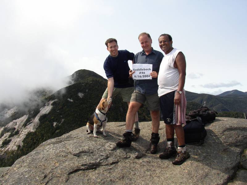
I climbed Saddleback today to help Jerzy finish his 46 high peaks. Mengis came along too.
Things got off to inauspicious start as the parking lot was full when we arrived at 7:15 am. Apparently, there are a lot of early birds hiking. So, we had to drive to another lot and then take a shuttle bus back to the trailhead.
The first 4 miles were easy. Then things got harder going as we went up the Ore bed trail. It was wet, steep and slippery. Took some extra time today, but everyone finally made it to summit in one piece.
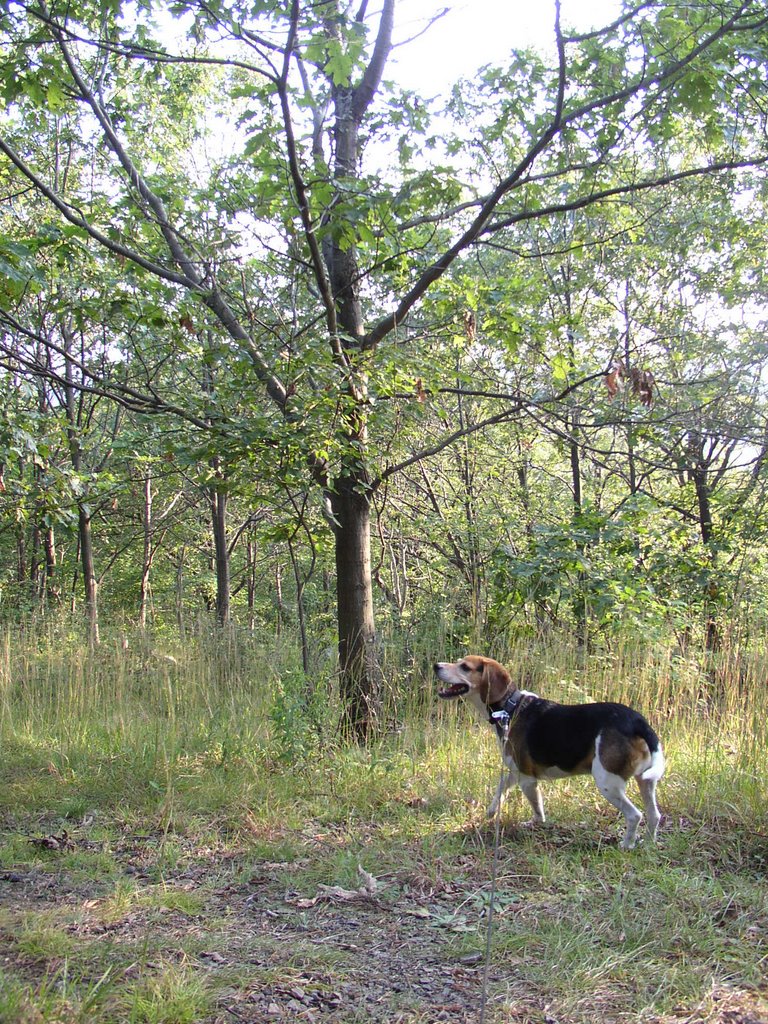
Howie was there of course, and he got the star treatment on the summit. At least two different people (that I didn't know) took his picture. Maybe I should get him an agent.
The trip down was slow as we were being cautious to avoid injuries. A couple of miles from the trailhead, we caught up to another coworker who had hiked Big Slide.
The entire trek today took around 10 hours including breaks.
Oh yeah .... congratulations Jerzy.

Summit Elevation: Saddleback 4528 ft
Round-trip Distance: 13.5 mi
Elevation Change: 3200 ft


The crew

Tuesday, September 12, 2006

Dog on a mission

Howie and I did a quick hike at Thatcher Park this evening. Walked along the Indian Ladder trail and along the escarpment. We passed a couple of people who tried to pet Howie, but he ignored them and kept right on going. I told one person that he was a dog on a mission. Spent around an hour walking around.


Howie on the wall

Sunday, September 10, 2006

Graham crackers

Howie and I did a hike in the Catskills. We climbed Graham and Balsam Lake mountains from Mill Brook Road. Most of the hiking was along old wood roads. We saw a snake on Graham mountain near the remains of the radio transmission building. Actually, Howie saw it first and was a bit scared. I climbed the fire tower on Balsam Lake mountain. There was a slight breeze once you got above the trees, and nice views in all directions. A couple of volunteers told of some the work they have been doing on the tower and cabin. We had a nice sunny and cool day for our trek. Not too many people out.

Summit Elevation: Graham 3868 ft, Balsam Lake 3723 ft
Round-trip Distance: 10.0 mi
Elevation Change: 1800 ft


Fire tower


View from tower

Saturday, September 09, 2006

I'm a cartoon


Here I am as a South Park character (with some editting in Paint program - add background, add backpack, alter hair, add logo to shirt, change shoes to boots).

Create your own character here.

Thursday, September 07, 2006

Doggy Date

Howie and I did another hike with my coworker and his dog (Cora). We climbed Bennett Hill - a small nature preserve out in the boondocks. The start of the trail follows along the edge of a woods next to a farm where some cows were out grazing. At the top of the hill is a path which loops around the flat summit. There are some partial views through the trees.

Monday, September 04, 2006

Hike Forever

Howie and I did a hike close by to Albany on this grey overcast day. It was in an OSI nature preserve adjacaent to Thatcher Park. We started at the trailhead at the end of Ryan road. We hiked mostly on the Long Path (aqua paint markers), but also took a couple detours on some mark and unmarked paths and wood roads. One led to the hang gliding launch site. There was a small memorial plaque embedded in the rock:
"E.C.S. Jr. 1919 1992
Dad
Fly Forever"

Round-trip Distance: 6.5 mi


Alien rock formations at the quarry


Howie getting ready to fly