Howie and I did another hike in the Southern Adirondacks. We climbed Baldhead mountain (near Stony Creek). There is no trail to the summit so we were almost guaranteed to have the woods to ourselves ... which was the case. The navigation was pretty straightforward. We parked at a pulloff on Tucker Road and then just headed a little west of north through the open woods. The upper third of the peak had many bare rock patches (due to all the fires in the previous century). The fall colors were pretty nice on this sunny and warm day (though probably a bit past peak).
Summit Elevation: Baldhead 2870 ft
Round-trip Distance: 4.5 mi
Elevation Change: 1500 ft

Looking south toward Hadley mountain

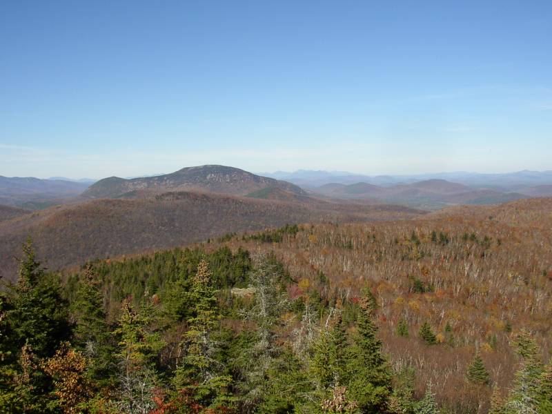
Looking north toward Crane mountain