 |
| Rensselaer Tech Park |
Sunday, July 26, 2015
Rensselaer Tech Park
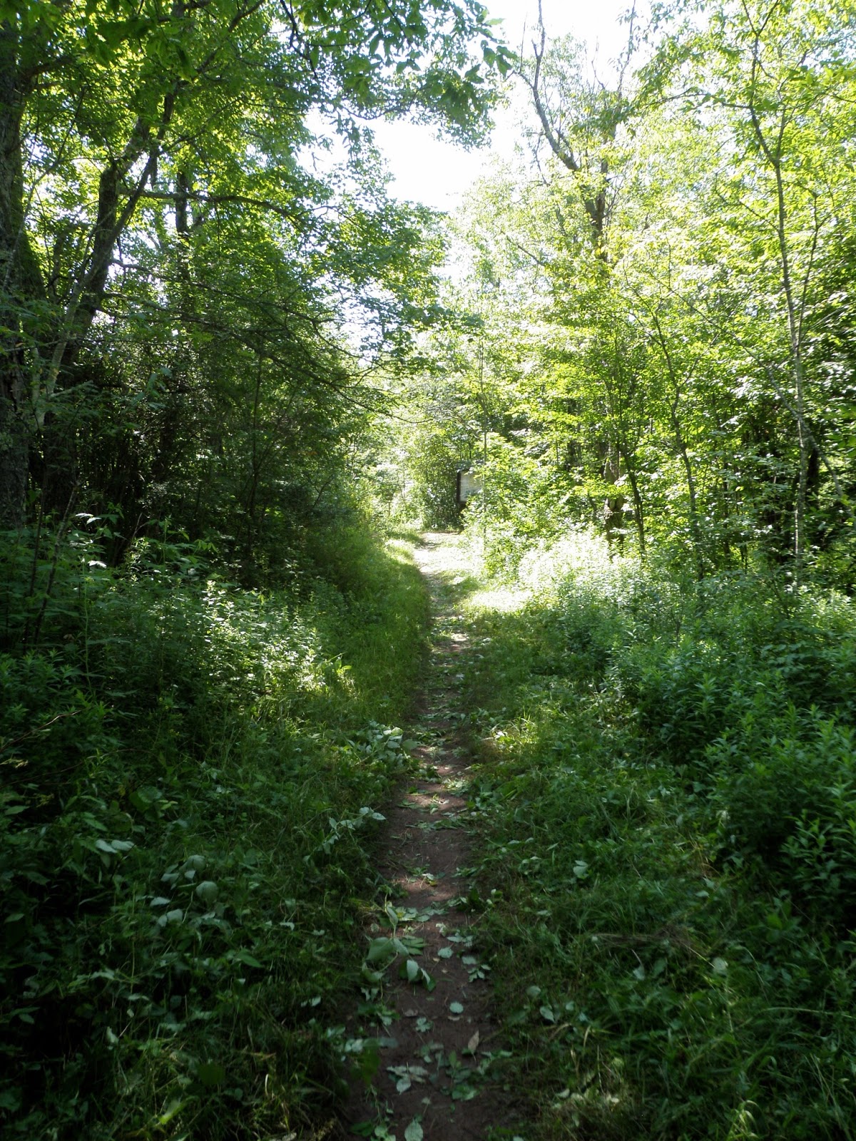
Went for a short walk this morning at Rensselaer Tech Park in North Greenbush with Benny. Did the yellow loop trail that is behind the WMHT building (local PBS TV station). Had a light rainstorm last night and there was murky water flowing down the creeks. About 1 mile round-trip.
Saturday, July 25, 2015
Hannacroix Ravine
Went for an easy hike this morning with Benny at Hannacroix Ravine Preserve in East Berne. Walked the orange loop trail - about 2.3 miles. Pictured is Benny on the "sandstone highway".


Thursday, July 23, 2015
Trout Lake mountain
Did some exploring in the Southern Adirondacks today. Parked at a pull-off on Route 10 - just under a mile north of where it crosses the West Branch Sacandaga river. After some searching, I found the start of the unmarked foot path that leads to Chub Lake. There was a small campsite here. I continued on the path that goes around the east side of the lake and then heads north. Crossed two small creeks near a beaver meadow. The trail split and I followed the left branch that leads toward the lower cliffs on Sherman mountain (dubbed McMartin). Shortly after, I lost the path. The woods were open and I would have only continued on for another 1/4 mile anyway. So, I just started my bushwhack early up to Trout Lake mountain. It was easy going all the way to the summit. Dropped down west to the cliffs. The best viewpoint were from some ledges about 100 feet below and SW of the top. From there was a 180 degree view to the west. A nice spot to take a quick break before heading down. I wasn't able to find the path again until I reached the creek crossings. Even then, you don't see the path until you are practically on it. I backtracked to the split near Chub Lake mountain that leads to the cliffs on Chub Lake mountain (dubbed Lost T). I took the path to the top of the cliffs. There were some views to the NW above the trees. From there it was a short climb to the summit. Came back down and checked the cliffs from below. Then, I headed back to the car.
Summit Elevation: Trout Lake mountain 2228 ft, Chub Lake mountain 2111
Round-trip Distance: 5.0 mi
Elevation Change: 1400 ft

Summit Elevation: Trout Lake mountain 2228 ft, Chub Lake mountain 2111
Round-trip Distance: 5.0 mi
Elevation Change: 1400 ft
 |
| Trout Lake |

Wednesday, July 22, 2015
High Point
Went for a short stroll this evening near Thacher Park. Walked to High Point from the trailhead on Stage Coach road. I let Benny off the leash and he did well - except on the way back, when he inexplicably started running. Maybe he thought we were playing "tag". I caught up to him though. After that, he was back on the leash. About 2 miles round trip.


Saturday, July 18, 2015
Kinderhook Creek
Went for a short walk this morning with Benny at a relatively new spot in Rensselaer County - Kinderhook Creek Preserve. The trailhead is on Martha Hicks Road in East Nassau. Didn't have a map of the trails - so basically just did a clockwise loop using some of the marked trails - white, red and yellow. Easy walking on mostly wood roads with some small hills. About 1.3 miles roundtrip.
 |
| Kinderhook Creek |
Thursday, July 16, 2015
Knob Lock
Climbed a trail-less peak in Northern Adirondacks today - Knob Lock mountain (Elizabethtown No. 1). Parked at the Owls Head Lookout/Giant mountain trailhead on Route 9N. Followed the trail for about 3/4 mile, then headed off trail and followed the eastern ridge of Knob Lock mountain. There were many open rock areas interspersed along the way. It got thick closer to the top, but eventually I made it. There were great views in almost all directions. I headed back down northeast and then north. It was also thick in this direction until I got further down the mountain. Eventually I reached the highway which I followed back to the car. Nice sunny day for hiking.
Summit Elevation: Knob Lock 3192 ft
Round-trip Distance: 6.0 mi
Elevation Change: 2100 ft

Summit Elevation: Knob Lock 3192 ft
Round-trip Distance: 6.0 mi
Elevation Change: 2100 ft
 |
| Knob Lock |

Wednesday, July 15, 2015
Limestone Rise
Went for a short stroll this evening with Benny at the Limestone Rise Preserve out near Knox (south of Altamont). Parked on Nash road and started out on the entrance trail. Crossed Route 146 and followed the loop trail in the second half of the preserve. There were many fissures in the limestone rock. Walked about 1.3 miles round-trip. It was nice to have some cool weather after a string of hot, humid days.
 |
| Limestone Rise |
Sunday, July 12, 2015
Levine
Went for an easy walk early this morning at the Levine Preserve in Saratoga County. Did a clockwise loop around the perimeter using the orange and green loop trails. Benny and I both enjoyed the trails that were soft underfoot. A bit over 2 miles of trekking.
 |
| Levine |
Saturday, July 11, 2015
Trail Work
Went out this morning and did some maintenance on the escarpment trail in the Catskill mountains (my section is from NY Route 23 trailhead to the lean-to). Didn't seem as bad as last year. Used mainly the weed whip on this outing. Saw the usual assortment of hikers, trail runners, backpackers, mountain bikers and dogs. Pictured is one of the worst sections of trail in terms of growth (after I finished clipping) - not far from the road. About a 2.4 mile round-trip walk today.
.
.
Friday, July 10, 2015
Freedom
Went for a short walk on a pleasant evening at Thacher Park with Benny. Parked at Paint mine lot and did a loop on the red trail. I let Benny off the leash the majority of the time, and he did pretty well - especially for a beagle. Only had to put him back on leash when we encountered some other dogs. Pictured below is Benny enjoying some new freedom. Walked around 1.5 miles.


Friday, July 03, 2015
Benson Hills
Went for a hike in the Southern Adirondacks today. Checked out a future section of the Northville Placid trail. Parked at a new trailhead on Gifford Valley road. The trail begins with a moderate climb through open woods with many switchbacks. There is periodic flagging, but it is otherwise unmarked. The treadway seems well defined for a relatively new trail. After about 2 miles, I reached Mud Pond. The trail turns left onto an old woods road. It climbs for a short bit before dropping again. At this point, I left the trail and headed up the hill to the north (un-named, but I will call it Mud Pond Hill). There were several rocky areas with views to the south. I continued down the west side of the hill into the notch. There was a small creek to cross. Then, I climbed the next hill to the west (un-named, but I will call it West Stony Creek mountain). As I got further up, there were more open areas with raspberries and other scratchy plants. Good to be wearing long pants. Got to a viewpoint looking east back toward Mud Pond hill. Kept climbing and soon reached the top which didn't have any views. I dropped down the west side to some open rock areas with nices views to the West. I went down the south side of the mountain until I reached the trail again. Then, I followed the trail back to the car. Nice day out with few bugs.
Summit Elevation: Mud Pond Hill 1852 ft, West Stony Creek mountain 1993
Round-trip Distance: 7.5 mi
Elevation Change: 1900 ft

Summit Elevation: Mud Pond Hill 1852 ft, West Stony Creek mountain 1993
Round-trip Distance: 7.5 mi
Elevation Change: 1900 ft
 |
| Benson Hills |

Subscribe to:
Posts (Atom)


