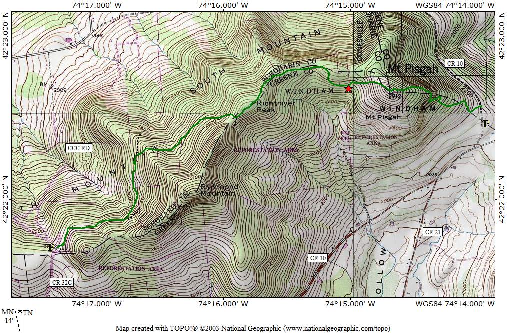
Howie and I did a hike in the northern Catskills on a section of the Long Path (Section 25). The Long Path is a long distance trail that runs from about NYC to Albany. This section brought us over three small peaks: Pisgah, Richtmeyer and Richmond. (Though, I plotted our GPS path afterwards and we never got near the summit of Richmond mountain.) The path followed a combination of old logging roads and some newer foot trails. It was somewhat confusing to follow as the trail doesn't seem to get a lot of use and and it crossed many competing wood roads. Had to be careful to follow the aqua paint markers. We didn't see anyone else in the woods on this cool, breezy, and partly sunny day. We spent about 5 hours on our trek.
Summit Elevation: Mount Pisgah 2912 ft, Richtmeyer 2980 ft, Richmond Mountain 3220 ft
Round-trip Distance: 9.0 mi
Elevation Change: 1500 ft
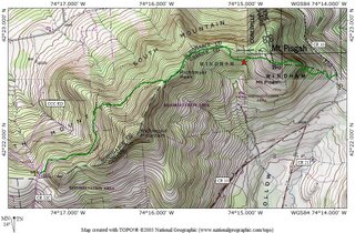
Map made using GPS and TOPO! software
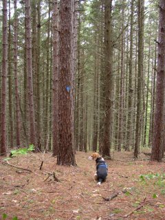
Pine trees on Mount Pisgah

A partial view
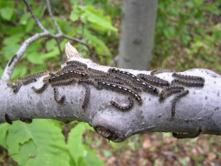
Caterpillar convention


1 comment:
Well, if ladybugs can have picnics (sesame street), I guess caterpillars can have conventions!
Post a Comment