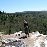
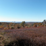
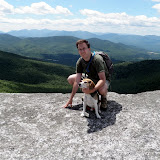
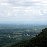
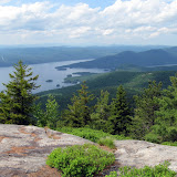
Summit Elevation: Blackhead 3942 ft
Round-trip Distance: 4.6 mi
Elevation Change: 1760 ft
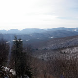 |
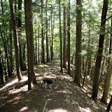
| Blackhead |
|
| Blackhead |
 |
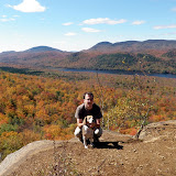
| Bear Mountain |


 |
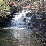
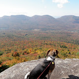
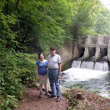
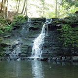
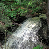
| Pilot Knob Fall |
 |
| H.G. Reist Sanctuary |

 |
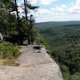
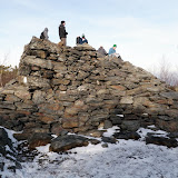
| Rips Rock |
 |
| Ashokan High Point |
 |
| Middleburgh Cliffs |
 |
| Harvey mountain |

 |
| Balm of Gilead |
 |
| Chimney mountain |
 |
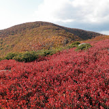
| Kaaterskill High Peak |


 |
| Mount Everett |
 |
| Deer Mountain Preserve |
 |
| Christman Preserve |
 |
| Sanders Preserve |

 |
| Charlie Major 2 |
 |
| Hadley |

 |
| Baker Peak (VT) |
 |
| Sugarloaf |

 |
| Yokun North |
 |
| Monument mountain |
 |
| Jay |

 |
| Huyck 2 |
 |
| Partridge Run |
 |
| Thatcher 3 |
 |
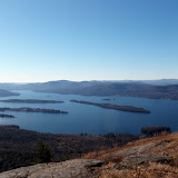
| Pilot Knob Summer |

 |
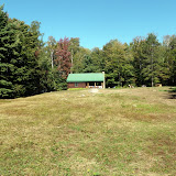
| Rensselaer Tech Park |
 |
| Buck |
 |
| Peaked Mountain |
 |
| Eminance State Forest |
 |
| Giant |

 |
| Blackwater Falls |
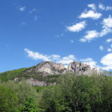 |
| Seneca Rocks |
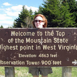 |
| Spruce Knob |